

Drone Surveys
We draw on 20 years of marine and terrestrial science in offering industry-leading remote-piloted aircraft (drone) services. We provide scale appropriate solutions integrating geospatial analysis, traditional satellite and aerial remote sensing, emerging drone techniques and ground-truthing.

Figure 1. Integrating drone based surveys into spatial mapping of ecosystems.
Our drone based tools have been used to fulfill a number of research, management, conservation, and planning needs, including:
Digital elevation modeling—to centimeter-scale accuracy if required for geomorphology landform analysis, monitoring coastal erosion, surface water flow modelling, and climate change impacts on habitats.
Marine and coastal habitat mapping, e.g. coral reefs, mangroves, seagrasses, and samphire wetlands.
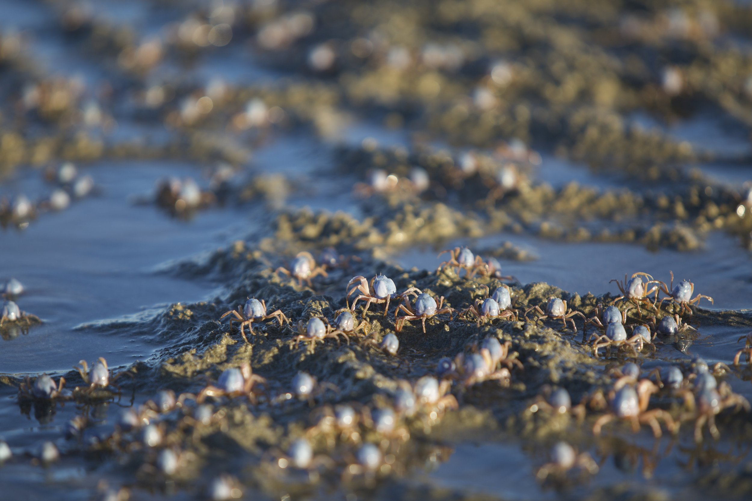
Biodiversity surveys, e.g. marine mammals, sharks and rays, marine reptiles, birds.
Vegetation monitoring, e.g. Coastal dune vegetation, weed management, and revegetation.
Water quality monitoring, e.g. turbidity plumes associated with coastal infrastructure.
Example applications
Exmouth Gulf Subtidal reefs
High resolution orthomozaic of Exmouth Gulf intertidal and subtidal reef tract. Consisting of photogrammetry of 1000+ images captured during afternoon low tides over three days. This dataset enables the production of a high resolution bathymetric map, characterization of geomorphology, and when combined with habitat ground truthing highly precise supervised classification of benthic habitats to derive cover estimates for corals, seagrasses, algae and other important ecosystem elements.

Exmouth Gulf Geomorphology
Undertaking landform analysis combining remotely sensed data, systematic drone surveys and ground truthing to derive a map of coastal and marine geomorphic units within Exmouth Gulf. This includes a classification of dunes, beaches, tidal flats, erosional and depositional landforms, cyclone washover fans, alluvial sedimentation, subterranean waterways, fossil and contemporary coral reefs, mangroves, supratidal samphire wetlands and more.

Geomorphology of the Bay of Rest mangrove wetlands Exmouth Gulf.


Lake Macleod wetlands
Landscape scale analysis of Lake Macleod combining temporal satellite derived imagery, focused drone based surveys of primary producer habitats and surveys of terrestrial and aquatic biodiversity (Imagery: Ben Fitzpatrick, Andrew Davenport, thrombolites courtesy of Pierre Horwitz).


West Kalimantan Mangrove Seascape
Informing implementation of a Locally Managed Marine Area for fisheries and biodiversity conservation across this highly biodiverse West Kalimantan mangrove seascape. Implementing supervised classification of satellite and drone derived imagery and species surveys to derive:
Spatial distribution of vegetation assemblages comprising 40+ mangrove species.
Historical analysis and prediction of climate change related storm and sea level rise impacts.
Integrated with biodiversity surveys to inform protected area priorities.


Coastal Processes
We apply drone surveys to quantifying dynamic marine and coastal processes over time. This includes monitoring human impacts such as 4wd vehicles, storm impacts, coastal infrastructure and sea level rise.

Monitoring beach sand deposition and erosion over time.

Assessing storm damage.

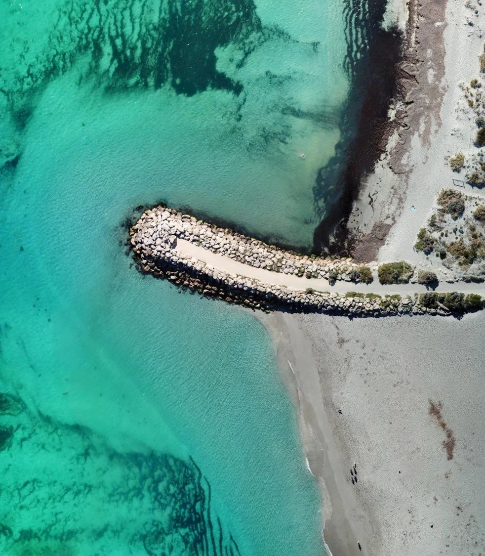
Monitoring the impacts of coastal infrastructure on longshore sediment distribution (Andrew Davenport).
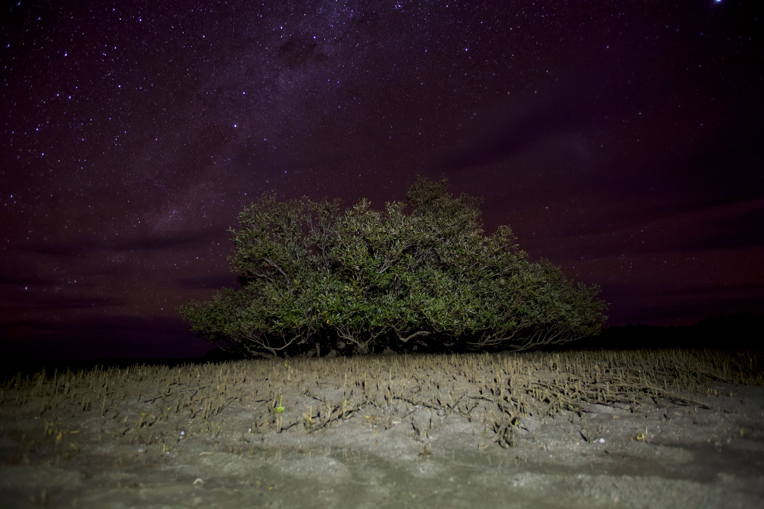
Wildlife surveys
We apply drones to a diversity of coastal and marine wildlife applications such as assessing body condition of marine mammals, monitoring habitat use over time and non-intrusive surveys of species abundance.

Monitoring the body condition of Humpback whale nursing mother calf pairs.

Observing dugong feeding behavior and quantifying spatial extent of seagrass feeding scars.

Wildlife surveys in coastal wetlands, offshore islands, estuaries, rivers, creeks and lakes (Andrew Davenport).
Habitat mapping
Mapping the topography / bathymetry, spatial and temporal extent, and percent canopy cover of diverse vegetation assemblages. This includes capturing large datasets in highly variable intertidal and subtidal coastal and marine environments influenced by tides, waves, wind and water visibility.

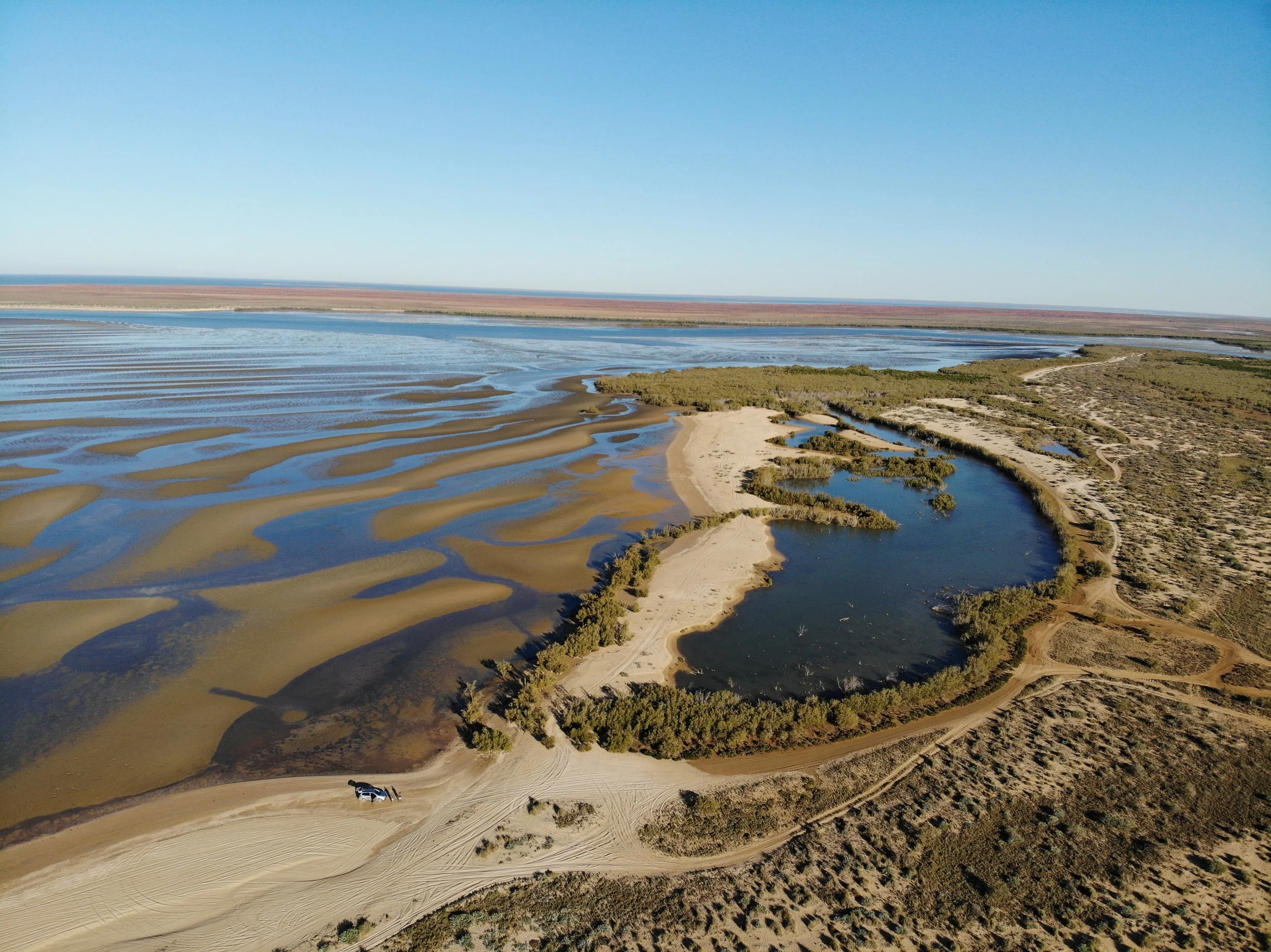
High resolution orthomozaic of supratidal samphire wetlands in Exmouth Gulf immediately after a spring high tide. Of note is the extent of inundation, drainage channels and uncontrolled proliferation of 4wd vehicle tracks.
Samphire wetlands of the Swan Estuary.

High resolution orthomozaic of coral reefs.

Stromatolites.
Vegetation Mapping and monitoring
Applying various approaches to quantifying spatial distribution of vegetation and monitoring change over time including multispectral imagery to derive NDVI based classification of vegetation health. Applications include monitoring coastal dune revegetation, weed monitoring and mapping native vegetation assemblages.

Experiment assessing the effectiveness of weed control treatments over time.

Supervised classification of mangrove assemblages.

3D topographic model of dune vegetation.

Riparian vegetation, river channel mapping
Ecosystem Restoration
Oceanwise Australia operate in accordance with CASA regulatory and insurance requirements.